THIS IS THE ARCHIVE FOR SAHRIS 1.0
THIS SITE IS NOW AN ARCHIVE AND IS NOT SUITABLE FOR MAKING APPLICATIONS
Please be aware that no content and application creation or changes to information on this version of SAHRIS will be retained.
To make applications or utilise SAHRIS for the creation of information, please use the new site:
https://sahris.org.za
Changes to SAHRIS!
The South African Heritage Resources Information System (SAHRIS) has undergone a generational upgrade and restructure. These changes to the site include, but are not limited to:
- A new & modernised look and layout
- Improved site usage flows with respect to applications and content creation
- Improved site performance and stability
Launch for the new version of SAHRIS occurred on Monday the 30th of October 2023.
The new site can be found here:
SAHRIS | SAHRIS
| Title |
Significance |
Geological Formations | RelevantImages |
|---|---|---|---|
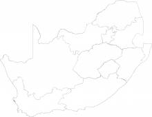
| Nyoka Formation | Very high | Karoo, Stormberg, Elliot |
 |
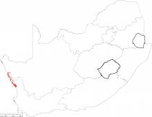
| West Coast Group | Very high | West Coast, Koekenaap, Olifants River, Curlew Strand, Kalkvlei, Graauw Duinen Fm, “Part 3”, Graauw Duinen Fm, “Part 2”, Graauw Duinen Fm, “Part 1”, Alexander Bay, Hondeklip, Avontuur, Kleinzee, Proto-Orange River Gravels, Meso-Orange II River Gravels, Meso-Orange III River Gravels, De Toren, Koingnaas |
 |
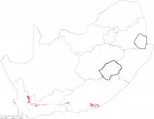
| Witpoort Formation | Very high | Cape, Witteberg, Witpoort |
 |
| Lisbon Formation | Very high | Karoo |
 |
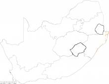
| Berea Formation | Very high |
 |
|
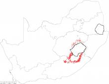
| Ntabene Formation | Very high | Karoo, Stormberg, Molteno |
 |
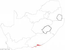
| Algoa Group | Very high | Algoa, Schelm Hoek, Nahoon, Salnova, Nanaga, Alexandria, Bathurst |
 |
| Hartenbos Formation | Very high | Algoa Basin, Uitenhage, Hartenbos (Kb) | |
| Bluff Formation | Very high | ||
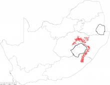
| Tarkastad Formation | Very high | Karoo, Beaufort, Tarkastad |
 |
| Maputaland Group | Very high | Maputaland, Sibayi, KwaMbonambi, Isipingo, Kosi Bay, Umkwelane | |
| Brenton Formation | Very high | Algoa Basin, Uitenhage, Brenton (Je) | |
| Port Durnford Formation | Very high | Maputaland, Port Durnford | |
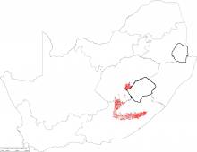
| Burgersdorp Formation | Very high | Karoo, Beaufort, Burgersdorp, Driekoppen |
 |
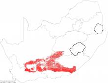
| Beaufort Group | Very high | Karoo, Beaufort, Koonap, Middleton, Balfour, Abrahamskraal, Teekloof |
 |
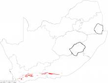
| Traka Subgroup | Very high | Cape, Bokkeveld, Traka, Sandpoort (Ds), Adolphspoort (Da), Karies (Dk), Klipbokkop |
 |
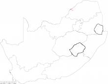
| Grootegeluk Formation | Very high | Karoo |
 |
| Robberg Formation | Very high | Algoa Basin, Uitenhage, Robberg (Je) | |
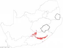
| Katberg Formation | Very high | Karoo, Beaufort, Katberg, Verkykerskop |
 |
| Coastal-Marine Cretaceous Outliers | Very high | Igoda, Mzamba (Kmz), Mbotyi (Kmb), Mngazana (Kmg) | |
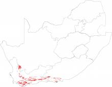
| Ceres Subgroup | Very high | Cape, Bokkeveld, Ceres, Boplaas (Db), Tra Tra (Dt), Hexrivier (Dh), Voorstehoek (Dv), Gamka (Dga), Gydo (Dg) |
 |
| Goedgedacht Formation | Very high | Karoo |
 |
| Cornelia Formation | Very high | ||
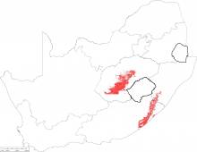
| Adelaide Formation | Very high | Karoo, Beaufort, Adelaide |
 |
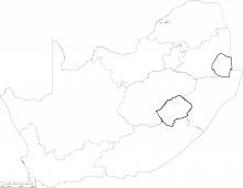
| Swartrant Formation | Very high | Karoo |
 |
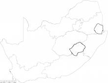
| Uloa Formation | Very high | Maputaland, Uloa |
 |
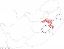
| Normandien Formation | Very high | Karoo, Beaufort, Normandien |
 |
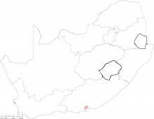
| Sundays River Formation | Very high | Algoa Basin, Uitenhage, Sundays River (Ks) |
 |
| Bosbokpoort Formation | Very high | Karoo |
 |
| St Lucia Formation | Very high | Zululand, St Lucia |
 |
| Estcourt Formation | Very high | Karoo, Beaufort, Adelaide |
 |
| Bokkeveld Group | Very high | Cape, Bokkeveld, Bidouw |
 |
| Kirkwood Formation | Very high | Algoa Basin, Uitenhage, Kirkwood (J-K) |
 |
| Mzinene Formation | Very high | Zululand, Mzinene |
 |
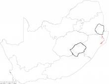
| Emakwazini Formation | Very high | Karoo, Beaufort, Adelaide |
 |
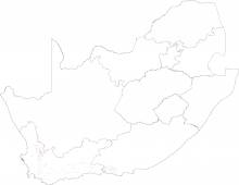
| Cederberg Formation | Very high | Cape, Table Mountain, Cederberg |
 |
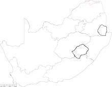
| Solitude Formation | Very high | Karoo |
 |
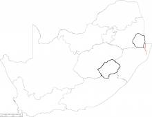
| Makatini and Mzamba Formation | Very high | Zululand, Makatini |
 |
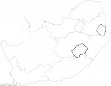
| Fripp Formation | Very high | Karoo |
 |
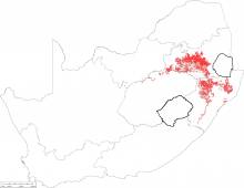
| Vryheid Formation | Very high | Karoo, Ecca, Vryheid |
 |
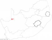
| Nama and Vanrhynsdorp Group | Very high | Nama & Vanrhynsdorp, Fish River, Schwarzrand, Kuibis, Kwanous, Brandkop, Knersvlakte |
 |
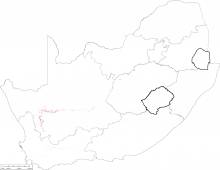
| Whitehill Formation | Very high | Karoo, Ecca, Whitehill |
 |
| Mikambeni Formation | Very high | Karoo |
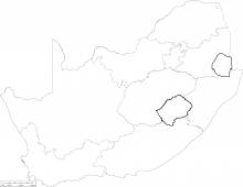 |
| Madzaringwe Formation | Very high | Karoo |
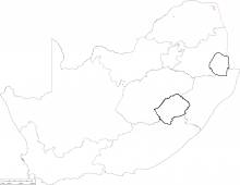 |
| Elliot Formation | Very high | Karoo, Stormberg, Elliot |
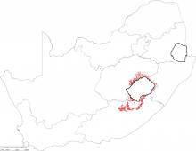 |
| Molteno Formation | Very high | Karoo, Stormberg, Molteno |
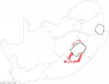 |
| Lake Mentz Subgroup | Very high | Cape, Witteberg, Lake Mentz, Floriskraal, Kweekvlei, Waaipoort |
 |
| Hammanskraal Formation | High | Karoo | |
| Caenozoic Deposits of the Interior | High | ||
| Timeball Hill Formation | High | Transvaal, Pretoria, Timeball Hill |
 |
