THIS IS THE ARCHIVE FOR SAHRIS 1.0
THIS SITE IS NOW AN ARCHIVE AND IS NOT SUITABLE FOR MAKING APPLICATIONS
Please be aware that no content and application creation or changes to information on this version of SAHRIS will be retained.
To make applications or utilise SAHRIS for the creation of information, please use the new site:
https://sahris.org.za
Changes to SAHRIS!
The South African Heritage Resources Information System (SAHRIS) has undergone a generational upgrade and restructure. These changes to the site include, but are not limited to:
- A new & modernised look and layout
- Improved site usage flows with respect to applications and content creation
- Improved site performance and stability
Launch for the new version of SAHRIS occurred on Monday the 30th of October 2023.
The new site can be found here:
SAHRIS | SAHRIS
| Title |
Significance |
Geological Formations | RelevantImages |
|---|---|---|---|
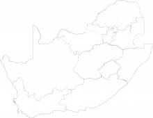
| Dwaalheuwel Formation | Low | Transvaal, Pretoria |
 |
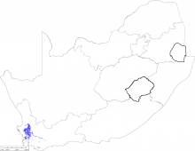
| Malmesbury Group | Low | Malmesbury, Boland, Brandwacht, Porterville, Norree, Piketberg, Franschoek, Bridgetwon, Swartland, Moorreesburg, Klipplaat, Berg River, Tygerberg |
 |
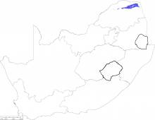
| Soutpansberg Group | Low | Soutpansberg, Sibasa, Wyllie's Poort, Tshifhefhe, Fundudzi, Musekwa, Nzhelele |
 |
| Swartland Group | Low | ||
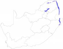
| Lebombo Group | Low | Karoo, Lebombo, Movene, Jozini, Letaba, Mbuluzi |
 |
| Grahamstown Formation | Low |
 |
|
| Boshoek Formation | Low | Transvaal, Pretoria |
 |
| Nsuze Group | Low | Pongola, Nsuze |
 |
| Makeckaan Subgroup | Low | Transvaal |
 |
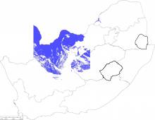
| Kalahari Group | Low | Kalahari, Gordonia, Obobogorop, Mokalanen, Eden, Budin, Wessels |
 |
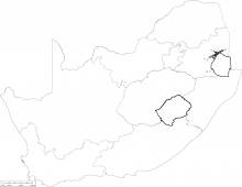
| Barberton Sequence | Low | Barberton, Moodies, Clutha, Joe's luck, Baviaanskop, Onverwacht, Weltevreden, Mendon, Theespruit, Komati, Hooggenhoeg, Fig Tree, Sheba, Belvue Road, Schoongezicht, Ngwenya, Mapepe, Auber Villiers |
 |
| Rooihoogte Formation | Low | Transvaal, Pretoria, Rooihoogte |
 |
| Eendragtpan Formation | Low | Karoo |
 |
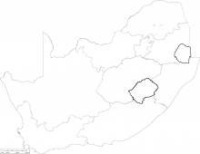
| Deutschland Formation | Low | Transvaal, Chuniespoort, Duitschland |
 |
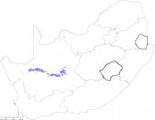
| Mbizane Formation | Low | Karoo, Dwyka, Mbizane |
 |
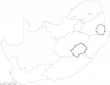
| Penge Formation | Low | Transvaal, Chuniespoort, Penge |
 |
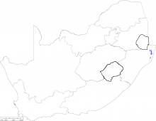
| Muzi Formation | Low |
 |
|
| Buffelskloof Formation | Low | Algoa Basin, Uitenhage, Buffelskloof(Kb) |
 |
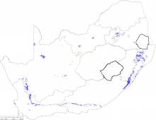
| Dwyka Group | Low | Karoo, Dwyka, Elandsvlei, Red Dwyka, Msikaba |
 |
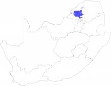
| Waterberg Group | Low | Waterberg, Kransberg, Vaalwater, Cleremont, Sandriviersberg, Mogalakwena, Matlabas, Aasvoelkop, Skilpadkop, Setlaole, Nylstroom, Alma, Swaershoek |
 |
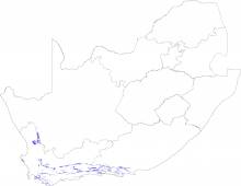
| Skurweberg Formation | Low | Cape, Table Mountain, Nardouw, Skurweberg |
 |
| Goudini Formation | Low | Cape, Table Mountain, Nardouw, Goudini |
 |
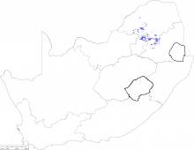
| Rooiberg Group | Low | Bushveld Complex, Rooiberg Group, Schrikkloof, Kwaggasnek, Damwal, Dullstroom |
 |
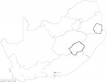
| Enon Formation | Low | Algoa Basin, Uitenhage, Enon (Je) |
 |
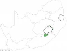
| Drakensberg Group | Low | Karoo, Drakensberg |
 |
| Suurberg Group | Low |
 |
|
| Pakhuis Formation | Low | Cape, Table Mountain, Pakhuis |
 |
| Klipheuwel Group | Low | Klipheuwel, Populierbos, Magrug |
 |
| Nxwala and Ntabankosi Formations | Insignificant or Zero |
 |
|
| Bumbeni Complex | Insignificant or Zero |
 |
|
| Dominion Group | Insignificant or Zero | Dominion | |
| Fenda Formation | Insignificant or Zero |
 |
|
| Namaqua Metamorphic Province | Insignificant or Zero | Namaqua-Natal Province, Orange River, De Hoop, Kuams River, Kook River, Abiekwa River, Windvlakte, Rosyntjieberg, Paradys River, Klipneus, Haib, Nous, Tsams, Hom, Guadom, Boerputs, Bushmanland, Aggeneys, Koeris, Hotson, T'Hammaberg, Sklempoort, Wortel, Areachap, Jannelsepan, Kantienpan, Boksputs, Copperton, Rateldraai, Bethesda, Sprigg, Jacomynspan, van Wykspan, Dagbreek, Kielder, Keimoes suite, Koras, Klakpunt, Adeisestad, Welgevind, Leeuwdraai, Bossienek, Swartkopsleegte, Boom River, Ezelfontein, Rouxville, Rusplaas, Christiana |
 |
| Kimberlites | Insignificant or Zero | ||
| Margate Suite | Insignificant or Zero |
 |
|
| Natal Structural and Metamorphic Province | Insignificant or Zero | ||
| Sandveld Group | Insignificant or Zero | ||
| Umkondo Igneous Province | Insignificant or Zero | ||
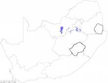
| Edenville Formation | Insignificant or Zero | Ventersdorp, Klipriviersberg Group, Edenville |
 |
| Bredasdorp Group | Insignificant or Zero | ||
| Mozaan Group | Insignificant or Zero | Pongola, Mozaan | |
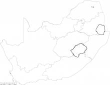
| Phalaborwa and Schiel Complex | Insignificant or Zero | Phalaborwa and Schiel Complexes |
 |
| Volcanic Pipes | Insignificant or Zero | ||
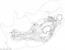
| Karoo Jurassic Dolerite Suite | Insignificant or Zero | Karoo |
 |
| Nondweni/Empangeni Metamorphic Suite | Insignificant or Zero |
 |
|
| Griqualand East Kimberlite | Insignificant or Zero | ||
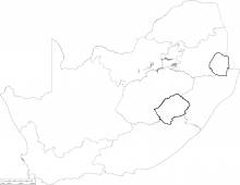
| Witwatersrand Supergroup | Insignificant or Zero | Witwatersrand, West Rand, Hospital Hill, Orange Grove, Parktown, Brixton, Bonanza, Government, Promise, Coronation, Tusschenin, Palmietfontein, Elandslaagte, Afrikander, Jeppestown, Koedoeslaagte, Rietkuil, Babrosco, Crown, Roodepooort, Maraisburg, Central Rand, Johannesburg, Blyvooruitzicht, Main, Randfontein, Luipaardsvlei, Krugersdorp, Booysens, Turffontein, Kimberley, Elsburg, Mondeor |
 |
| Vaalian Syenite Intrusions | Insignificant or Zero | ||
| Kaapvaal Craton | Insignificant or Zero | ||
| Archaean Granite-Gneiss Basement | Insignificant or Zero | Archaean granite and gneiss |
