Primary tabs
THIS IS THE ARCHIVE FOR SAHRIS 1.0
THIS SITE IS NOW AN ARCHIVE AND IS NOT SUITABLE FOR MAKING APPLICATIONS
Please be aware that no content and application creation or changes to information on this version of SAHRIS will be retained.
To make applications or utilise SAHRIS for the creation of information, please use the new site:
https://sahris.org.za
Changes to SAHRIS!
The South African Heritage Resources Information System (SAHRIS) has undergone a generational upgrade and restructure. These changes to the site include, but are not limited to:
- A new & modernised look and layout
- Improved site usage flows with respect to applications and content creation
- Improved site performance and stability
Launch for the new version of SAHRIS occurred on Monday the 30th of October 2023.
The new site can be found here:
SAHRIS | SAHRIS
CDE27
- 130 reads
Group
Post date: 22/12/2014
Admin Comments:
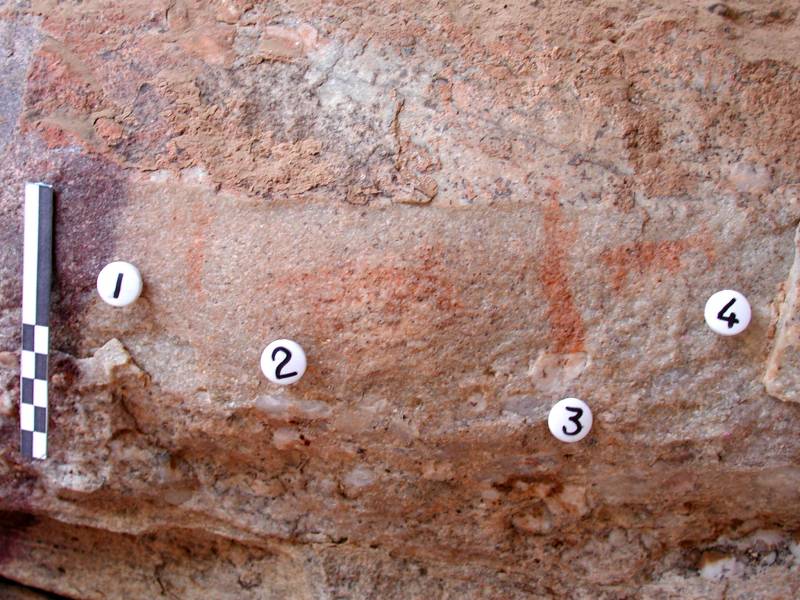
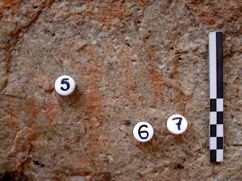
Several GPS coordinates available
Several GPS coordinates available
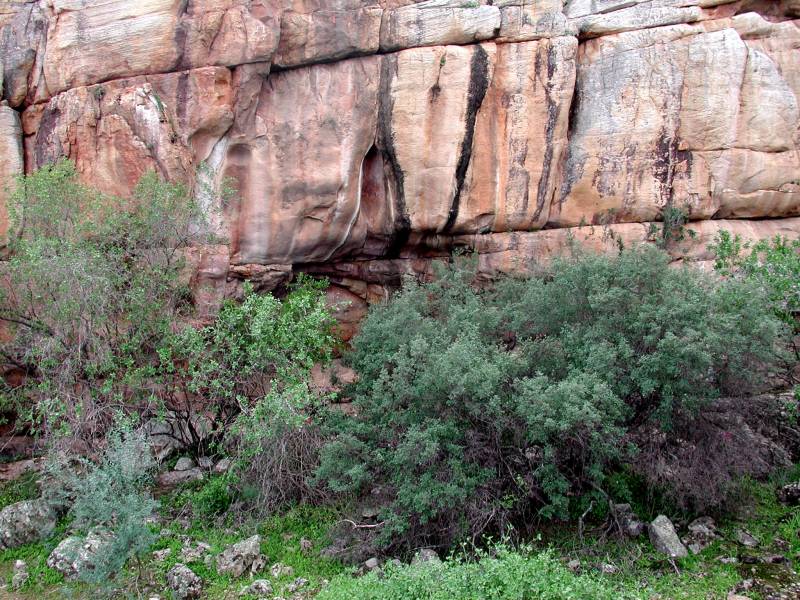

A terrace several hundred meters long runs along the south bank of the Rondegat River beginning near the modern farmhouse and ending at the Rondegat bridge. It sometimes has a low stone wall but usually is just a clay embankment. The surface is slightly concave.