Primary tabs
THIS IS THE ARCHIVE FOR SAHRIS 1.0
THIS SITE IS NOW AN ARCHIVE AND IS NOT SUITABLE FOR MAKING APPLICATIONS
Please be aware that no content and application creation or changes to information on this version of SAHRIS will be retained.
To make applications or utilise SAHRIS for the creation of information, please use the new site:
https://sahris.org.za
Changes to SAHRIS!
The South African Heritage Resources Information System (SAHRIS) has undergone a generational upgrade and restructure. These changes to the site include, but are not limited to:
- A new & modernised look and layout
- Improved site usage flows with respect to applications and content creation
- Improved site performance and stability
Launch for the new version of SAHRIS occurred on Monday the 30th of October 2023.
The new site can be found here:
SAHRIS | SAHRIS
SARON1
- 523 reads
Group
Post date: 29/08/2015
Common Name: Equid with mane, decorated handprints
Admin Comments:
We checked the shelters leading up to this rock art site from the end of the jeep track but the rock surfaces were poor. No artefacts were seen either but this may have been due to the dense vegetation cover in places. There has been some use of the site by the Rastafarian community in Saron and a fireplace had been made on the western entrance to the site. We discussed this with the group and pointed out that one needs to leave the site in the same state we found it to conserve it as best as possible.
We checked the shelters leading up to this rock art site from the end of the jeep track but the rock surfaces were poor. No artefacts were seen either but this may have been due to the dense vegetation cover in places. There has been some use of the site by the Rastafarian community in Saron and a fireplace had been made on the western entrance to the site. We discussed this with the group and pointed out that one needs to leave the site in the same state we found it to conserve it as best as possible.
Directions:
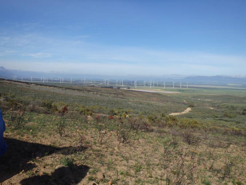
1km up steep kloof on the northern bank. Access to this site was made on the northern bank by traversing a fairly precipitous slope. It is probably easier to reach the site via the river and attempting to avoid the densest sections of vegetation.
1km up steep kloof on the northern bank. Access to this site was made on the northern bank by traversing a fairly precipitous slope. It is probably easier to reach the site via the river and attempting to avoid the densest sections of vegetation.
Very long overhang, quite leafy, very wet in places. The deposit does not appear to be archaeological as very few artefacts were noted on the surface and it is heavily disturbed by precipitation and vegetation growth. The rock paintings are excellent and this is one of the best rock art sites close to Cape Town in terms of the range of imagery, clarity of preservation and use of colours in the paintings.